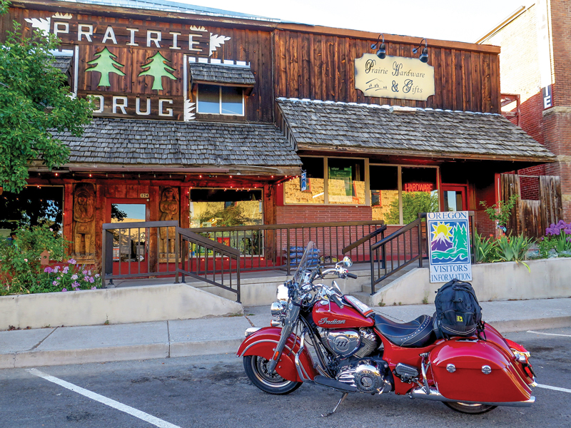
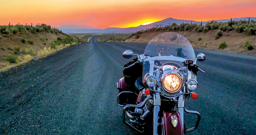
Coastal prairies, mountain forests, high deserts—Oregon has it all, the perfect venue for a three day, three-border road trip. My ride, a brand-new 2017 Indian Springfield I named “Big Red,” weighs in at 862 pounds wet and outweighs me 7-to-1, so it had my attention and respect. I filled the hard bags and strapped a gear bag over the passenger seat, promising to break the bike in gently. Since I’m “inseam challenged” at 5 feet 5 inches, the Springfield’s low seat height makes it easier to ride, and hoisting it off the sidestand is manageable.
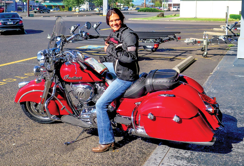
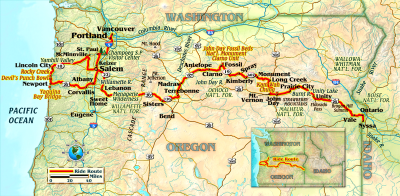
Nervous and excited, I rode from Vancouver, Washington, south down Interstate 5, about 35 miles to Oregon’s Willamette Valley. Stop-and-go late afternoon traffic forced me to get accustomed to braking and balancing the bike. The triangular profile of the stock tires makes for better handling at higher speeds, but gives the bike a quicker tipping point at slower ones. Exit 278 dropped me onto a 10-mile wooded winding country road, a welcome relief. It leads to Oregon’s earliest settled area, the French Prairie, established in the early 1800s by French fur trappers. Its forests, fields and wetlands are still pristine, peaceful and protected with the help of several state parks. Champoeg (cham-pooey) State Heritage Area is a popular place to camp and butts up to the Willamette River. A short, 6-mile ride past colossal cottonwoods and dense Douglas firs down Oregon State Route 219 and over the Willamette River took me to St. Paul. This is a small cowboy town that gets real big around the Fourth of July, when it hosts one of the largest annual pro rodeos in the country.
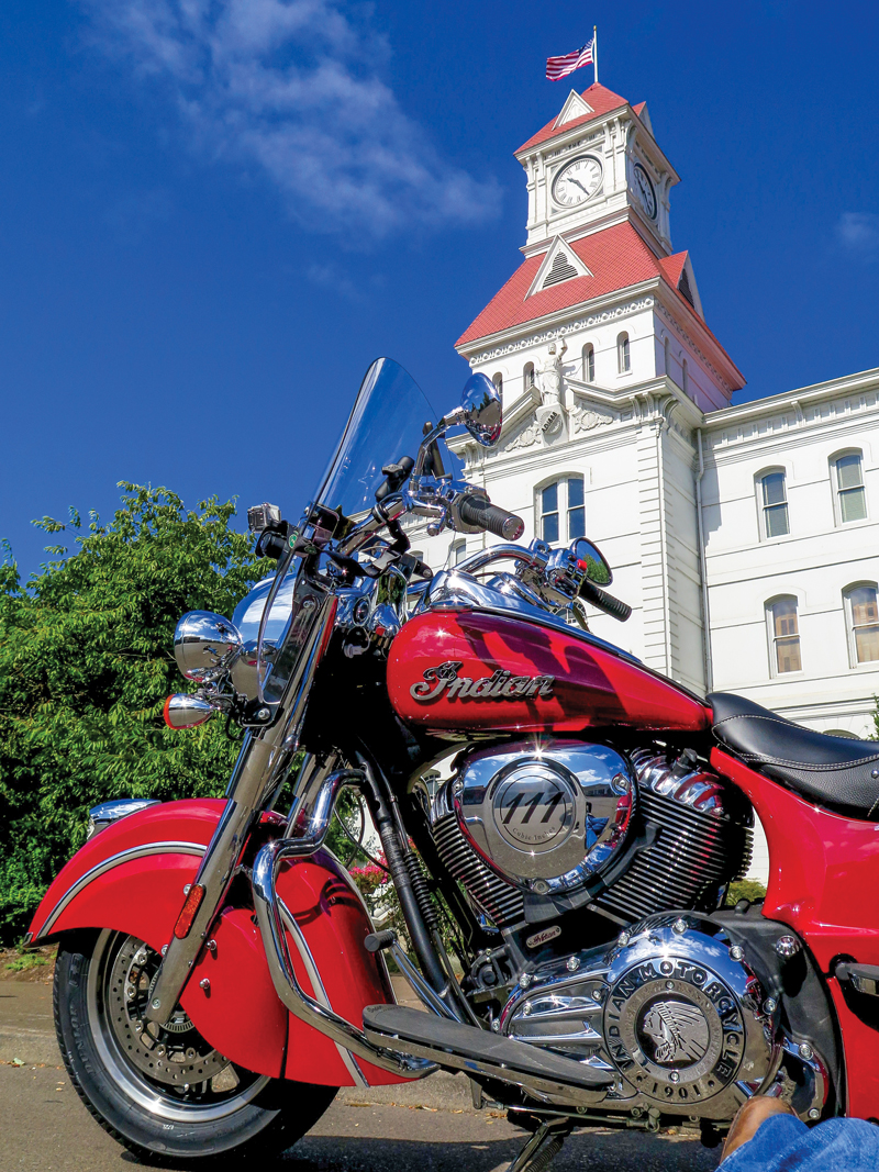
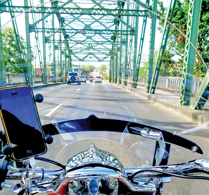
Leaving St. Paul I headed south on River Road, a rambling, scenic 17-mile country byway along the Willamette River leading to Keizer. Left on Lockhaven Drive led to Interstate 5, then it was south for 30 miles to Albany. I started a clockwise coastal loop before heading east up into the Cascade Range. Albany and the small towns along the loop are filled with historic districts, buildings, monuments and many covered bridges. Albany is also the largest city on the route and has 700 historic brick buildings. Leaving Albany, I took U.S. Route 20 west across the Willamette River over the steel-truss Lyon Street Bridge toward the coastal port town of Newport. Corvallis was the next town, and a cruise through its downtown is a step back in time, with elaborate murals, a retro-styled Greyhound bus station and the towering Italianate-styled Benton County Courthouse.
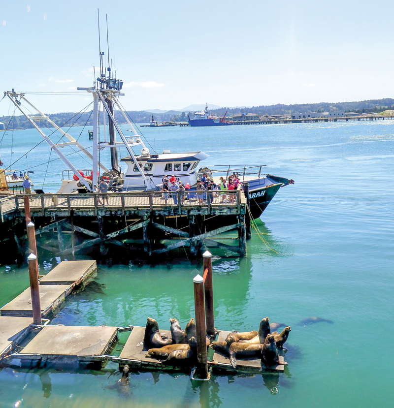
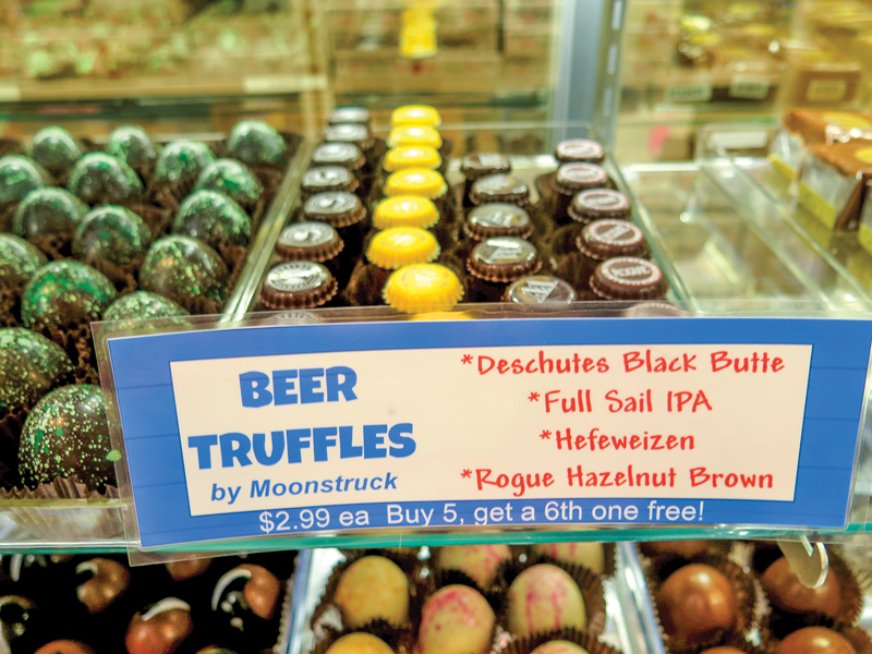
U.S. 20 narrows and meanders westward through groves of Oregon white oak and old-growth big leaf maples flanked by wildflowers and blueberry meadows. There are few stoplights for the 52 miles as I serenaded the Springfield along, shifting easily between third and fourth gears. At the highway’s end, suddenly the crisp, cool ocean air slapped me awake. Arriving at Newport, this historic Victorian fishing village is a buzzing cultural hub with its aquarium, whale watching and large coastal park. Bayfront meals with views of Yaquina Bay Bridge, seals sunning and fishing boats can be had here. The seafood, saltwater taffy and beer-filled truffles are wonderful.
Northbound Pacific Coast Highway 101 was packed with weekend tourist traffic. The salty ocean mist is invigorating, as is the slightly cold head wind that keeps you alert. I stopped along the coast and caught silvery glimpses of whales breaching at two of the many scenic turnouts, Devil’s Punch Bowl and Rocky Creek, before heading east and inland on State Route 18 to McMinnville. Valleys west of the Cascades in Oregon are cooled by the ocean air and are ideal for wine grapes, specifically Pinot Noir. The vast vineyards and rolling hills make Yamhill County, 76 miles from Newport, a popular ride. I tailed a pack of Harleys riding at a quick clip as I neared Amity, finding the fifth of the Springfield’s six gears for the first time. Amity is seven miles south of the fork of State Routes 18 and 99W, where the Coelho Winery offers tours of their vineyard.
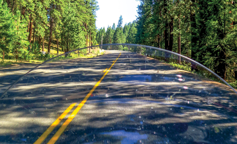
Completing the coastal loop, I continued south 35 miles on State Route 99W to State Route 22 eastbound, zigzagging south 20 miles from Stayton to Lebanon, taking small roads canopied by tall trees, passing turn-of-the-century country homes and covered bridges. I caught U.S. 20 eastbound and quickly climbed more than 4,000 feet up the Tombstone and Santiam passes. The ride up the mountain became a race against the quickly setting summer sun, and I was impressed with Big Red’s nimbleness as I rode it harder into the corners and forgot I was on a big bike. I never imagined an 850-plus pound, 1,811cc Indian Springfield could handle and corner so well. After 118 miles through the Menagerie Wilderness and cresting the summit of the Cascade Range, I arrived at the small ski town of Sisters. Giggling in my helmet, I had beat the sunset and settled down at the Sisters Bunkhouse for the night.
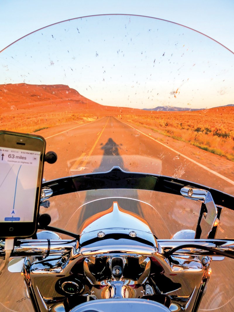
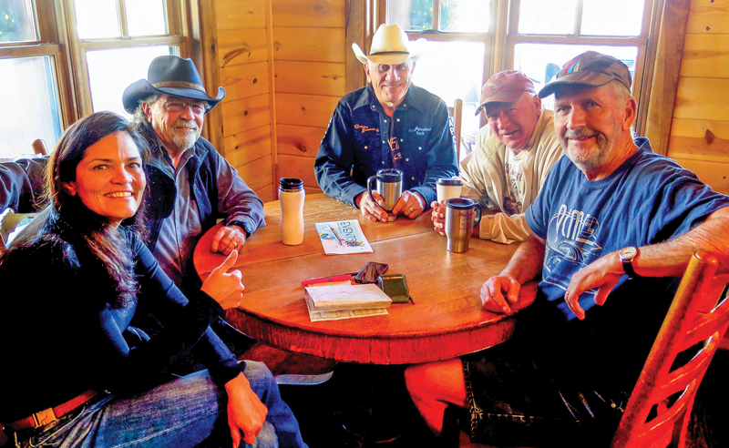
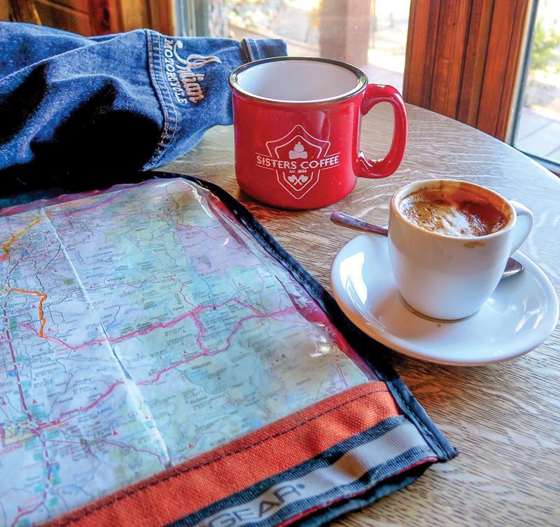
Fresh the next day and still thinking about the prior day’s ride up U.S. 20, with its perfectly pitched curves and stunning vistas at every turn, I went in search of more fun. Armed with my map and highlighters, I found the Sisters Coffee Company. Fueled by a double macchiato, I worked up the courage to interrupt a round table of retired cowboys, riders, authors, gear heads and tinkerers during their morning meeting for advice about the best route to the Oregon-Idaho border. They kindly obliged with a scenic route off the beaten path. I was also directed to the Gallery Restaurant and Bar for breakfast, where I met a local KTM 1190 Adventure rider who added a few more points of interest, stressing a stop at John Day Fossil Beds National Monument. Then I filled up with ethanol-free fuel, pleased that Big Red was averaging 40 mpg!
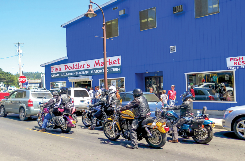
Five miles east out of Sisters on State Route 126, the terrain and temperature quickly warmed as the elevation dropped. As instructed, I took a left at Holmes Road onto a rough crowned asphalt road paralleling groomed green pastures and alpaca farms. Then right onto Lower Bridge Road, which climbs over the Deschutes River, undulating in elevation and curving around like a slow roller coaster offering views of Mount Jefferson and the Mutton and Ochoco Mountains. After 20 miles I arrived at U.S. Route 97 in Terrebone and headed north, passing the town of Madras to stay right onto State Route 293 past Antelope and onto State Route 218 to Clarno, a distance of 37 miles total. The climate was warm and dry, 90 degrees, pleasant during summer with willow trees near the river, grasses and cacti.
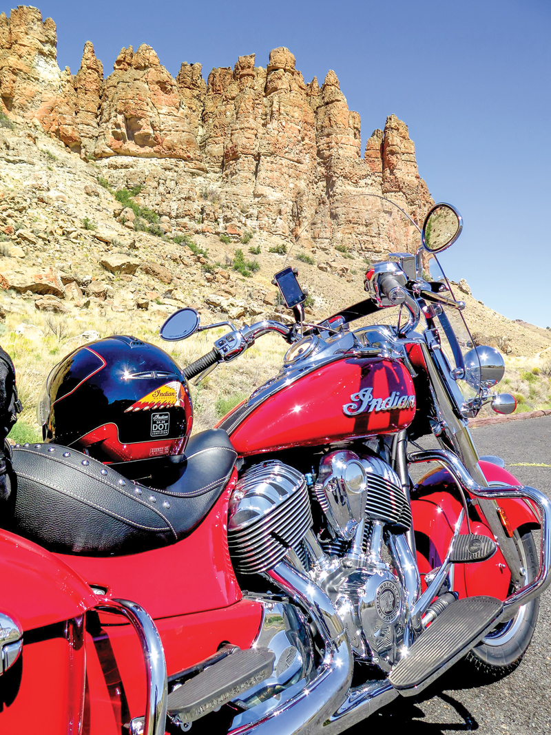
Crossing the Clarno Bridge takes you over the inviting dark blue John Day River. There are deep canyons, old-growth ponderosa pines and Native American pictographs. The area is arid and desert-like, with sagebrush, juniper and tall, sweeping red rock canyons, especially near the town of Fossil, named after the numerous fossil beds in this volcanic ash area. I stopped at one, the Clarno Unit of the John Day Fossil Beds National Monument, for a walk in what was once a tropical rainforest 40-50 million years ago. Afterwards, I mounted up and pressed on through the curvy, calescent rock canyons on State Route 19, meeting up again with the John Day River 35 miles later, which demanded a swim. An old stagecoach stop, the Service Creek Stage Stop offers raft rentals, cold drinks, a tasty lunch and a view of the river.
Weaving along on rolling road flanked by the John Day River, I crested reddish brown, tree-dotted canyons for 45 miles east to State Route 402, passing two small towns, Spray and Kimberly. After reaching Long Creek, I headed south on U.S. Route 395, climbing 31 miles into Malheur National Forest, with the elevation rising to 5,000 feet and flowing, ebbing curves through pungent forests of juniper, pine and fir along the way. Mount Vernon, where U.S. 395 meets U.S. 26, offers stores, gas, a laundromat and post office. Nine miles east on U.S. 26 is John Day, home to Oregon’s much-loved Kam Wah Chung State Heritage Site. An historic Chinese dry goods store and apothecary offer a glimpse into the past glory of this former gold mining town.
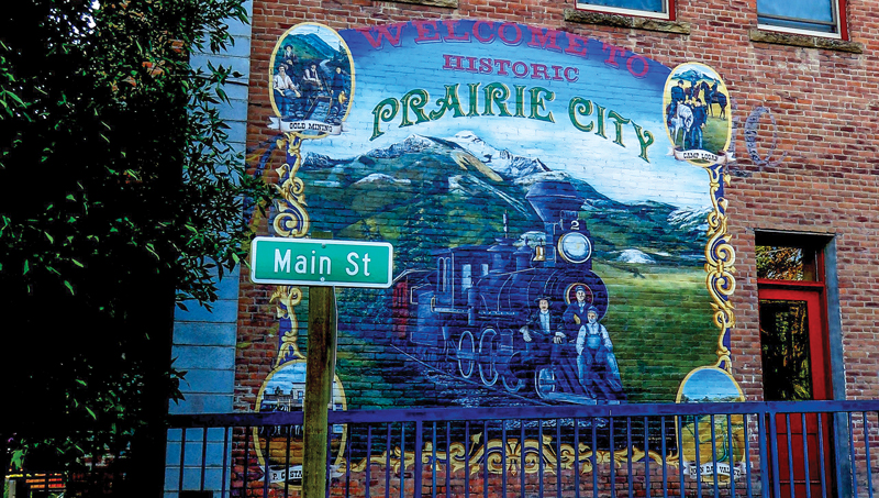
John Day is at 3,000 feet, and it’s cool with sweeping views of the Strawberry Range. Thirteen miles east, my nostrils filled with earthy scents of freshly cultivated fertile green farmland. The road flattens and widens, sprinkled with an occasional dilapidated dusty gray barn on the high grass prairieland as you approach Prairie City. A sweeping S-turn surprised me, as did the giant roadside Conestoga covered wagon. There is no other city on U.S. 26 all the way to the Oregon border with this much character and color. And the Historic Hotel Prairie is popular and rider friendly, with a restaurant, bar and Internet access, all right on Main Street.
East of Prairie City, U.S. 26 passes through the Wallowa-Whitman National Forest on the last stretch to Oregon’s eastern border. I passed spectacular scenic buttes, passes and summits as I rose in elevation through more juniper trees to Unity Lake. Created by the damming of the Burnt River, this 40-acre recreational park offers boating, fishing and camping. Within 10 miles I reached Eldorado Pass, losing an hour shifting from Pacific Time to Mountain Time.
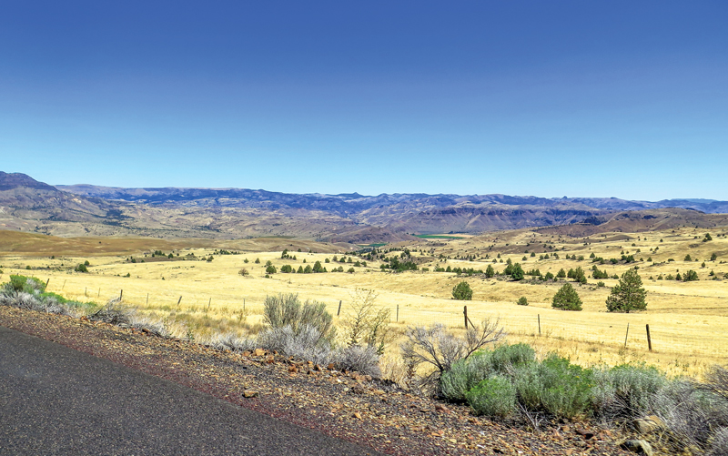
Continuing south and gradually stepping down 20 miles through rolling hills covered in brush, sage and cheatgrass along U.S. 26, I reached a high point at Brogan Hill Summit. Stopping to mournfully glance back in the rearview mirror as the sun set for a last look at the 360-degree canyon country views, my 3-day ride was sadly coming to an end. Finally finding sixth gear, the town of Vale arrived quickly in 24 miles, where U.S. 26 meets U.S. 20. At Nyssa, the “Gateway to the Oregon Trail,” I stopped to soak my feet in the Snake River, replaying the 750-mile journey. Thankful for great weather, ever-changing roads, spectacular scenery, friendly people and my “Big Red” Indian Springfield, a surprisingly nimble and excellent companion with which to explore Oregon, I had enjoyed an epic ride.




I read this article in Rider Magazine…and she was the one who got me to take a trip into Central Oregon…nice read…and thanks for getting out there.
Great writeup! I rode through Oregon last summer, taking in the Columbia River Gorge and the Cascades going out, and cruising inland through the Willamette Forest coming back. It was amazing, and I can’t wait to go back and do some more exploring.
Super article and fantastic photo’s !!. Love Wendy’s writing !!
It’s “Willamette” wilderness not Majestic 🙂 I was near Lebanon just a few days ago. Hey folks join us in Oregon at the Hells Canyon Motorcycle Rally! It boasts some of the best roads/rides in Eastern Oregon! It’s my annual tradition and wouldn’t miss it for the world. July 12-16th 2018
We have some great riding country here in Oregon, to be sure! Loved this article!
Thanks for a good article. I certainly enjoy reading your mag-Wish you and the mag long survival.
[…] Ocean to Desert: Exploring Oregon West to East on an Indian […]