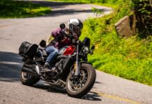
I enjoy riding in Southern Indiana because, once off the beaten path, surprises abound around every turn. There are no wide-open vista views from which to get your bearings; you’re pretty much along for the ride, which is partly why I chose to buy my Honda NC750X. Cruisers and sport bikes are great for the main roads, but if you really want to explore around here, you need something that’s not afraid of a few bumps or gravel sections.
On this ride, I only had a few hours but needed some wind therapy (I know you know what I mean), so I hopped on State Road 446 and headed south. SR 446 is a gem, a curving snake of (freshly paved, as of this writing) blacktop that carves through the Hoosier National Forest. It’s also an access point to Monroe Lake, so traffic can be heavy on weekend afternoons in the warmer months, but once past the lake the road will likely be all yours.
Thick forest, a curious mix of pine trees and hardwood, like oak, maple, poplar and sycamore, grows right to the edge of the asphalt, and on many of the curves there are no guard rails. It’s heaven on earth as far as I’m concerned.
After cutting over to a gas stop in Bedford the curvaceous back way (State Road 58), I detoured onto Tunnelton Road — and shortly thereafter got pleasantly, hopelessly lost. I’d installed my Garmin zumo 396 GPS just that morning, after several rides on which I’d noticed a complete lack of road signs. Apparently in these nether reaches, no one other than locals ever tread, so they figure you know where you are and where you’re going.
My adventure began when Tunnelton Road turned into Fort Ritner Road. I thought I’d recalled seeing that the bridge over the East Fork White River was out just past Fort Ritner, so I turned left at the first road I saw: Tunnelton Denniston Road. The combination of thick tree cover, steep hills and curvy roads make it difficult to maintain a sense of direction, but fortunately my GPS had my back.
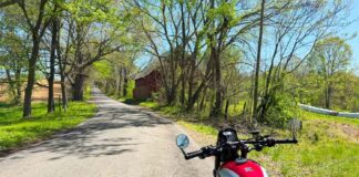
The trouble, of course, is that the road doesn’t necessarily take you the direction you want to go. In this case, it narrowed to a lane-and-a-half wide, then proceeded to carry me roughly north, alternately cresting the steep ridges and then dropping into narrow valleys. Up and down I went, until I came to a four-way stop (unmarked, of course), where I turned right (east, the direction I was trying to go).
We dipped, we climbed, we dipped again, then the pavement ended. Undeterred, I pressed on, and after just a couple hundred yards the (still unpaved) road straightened out, and I could see that after it cut across the little valley and crossed a stream it turned to pavement again before ascending the far hill. Huzzah!
I can’t tell you how, but eventually I made it back to Fort Ritner Road, only a couple miles east of where I turned off. From there I followed my nose (and GPS) to Medora, where I was able to take State Road 235 north and back toward home.
Another adventure in the books, and my wind therapy session was another investment that paid off.
Scroll down for photos!
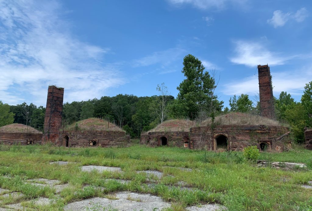
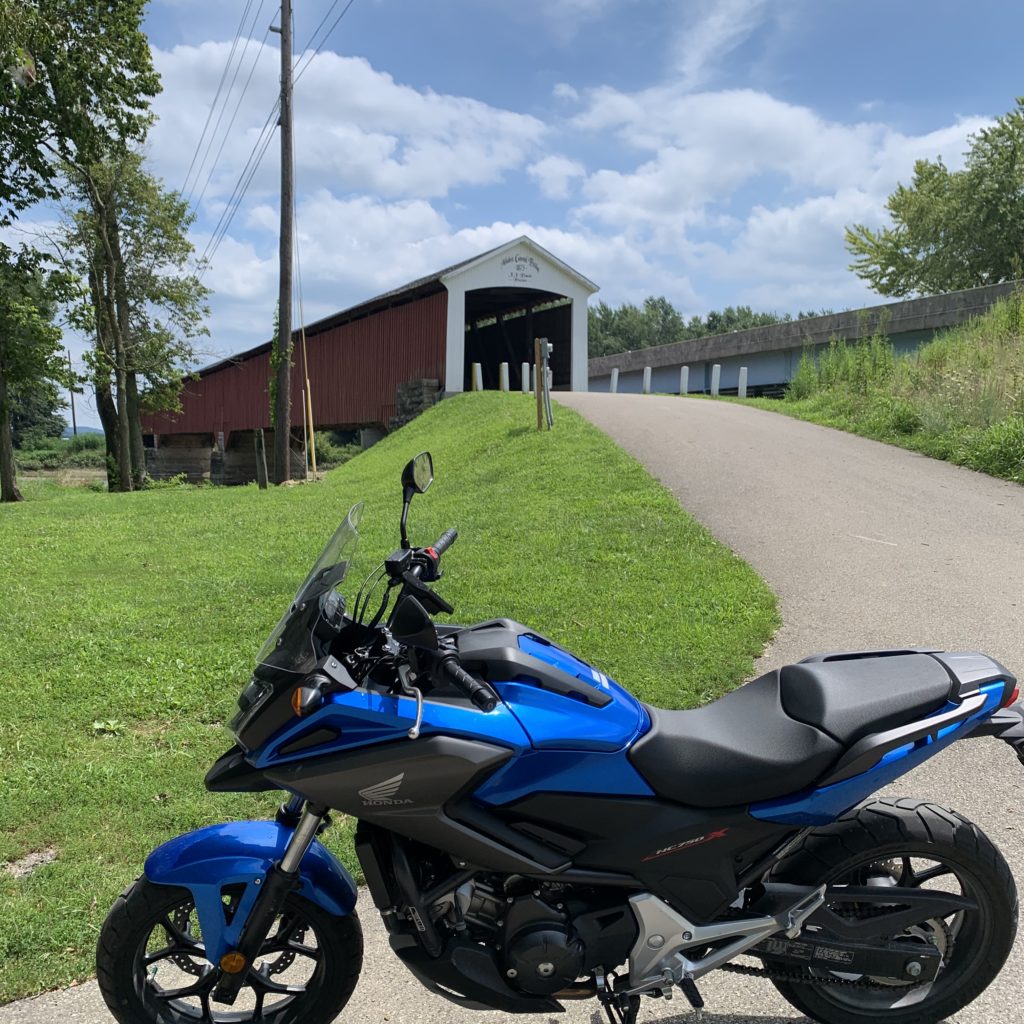
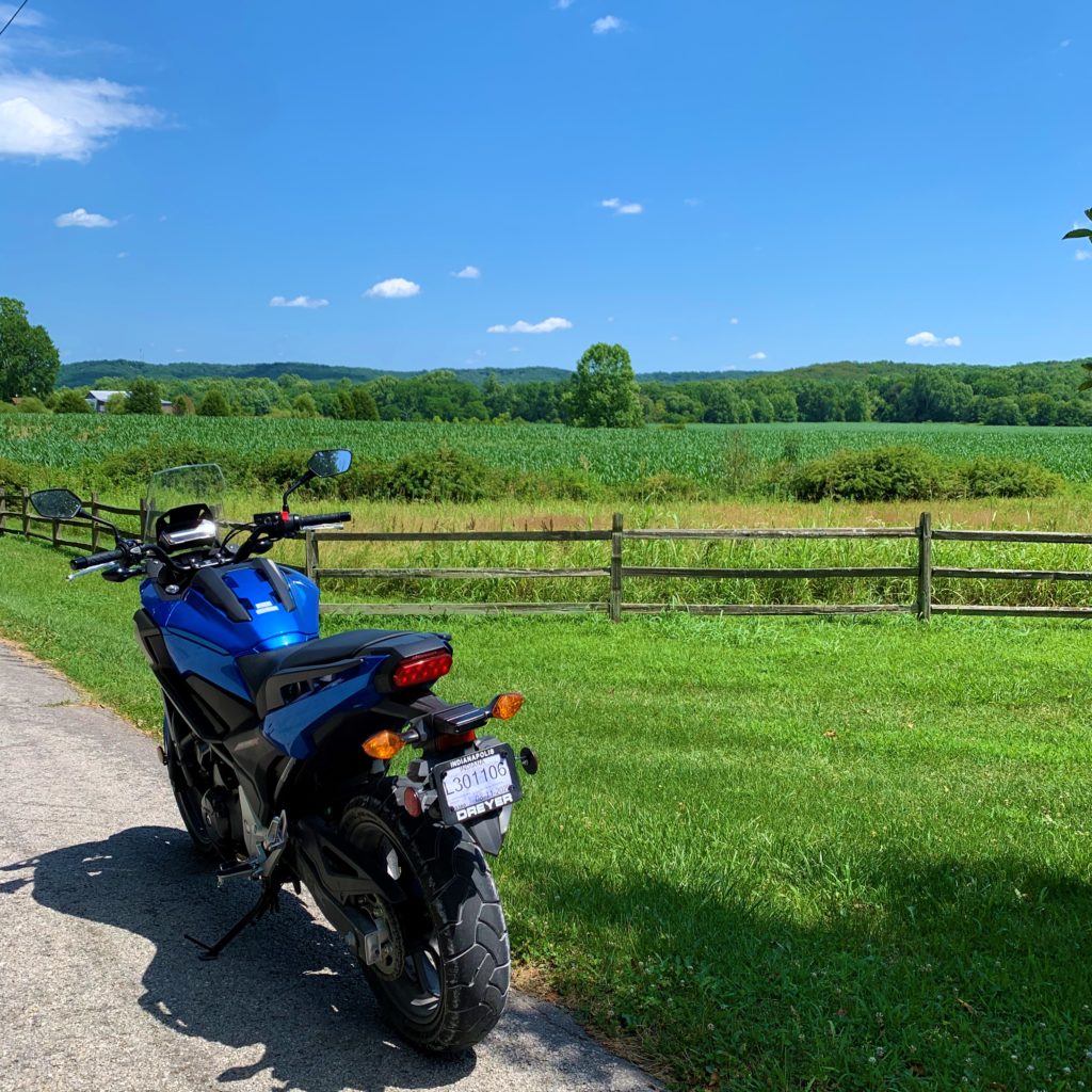


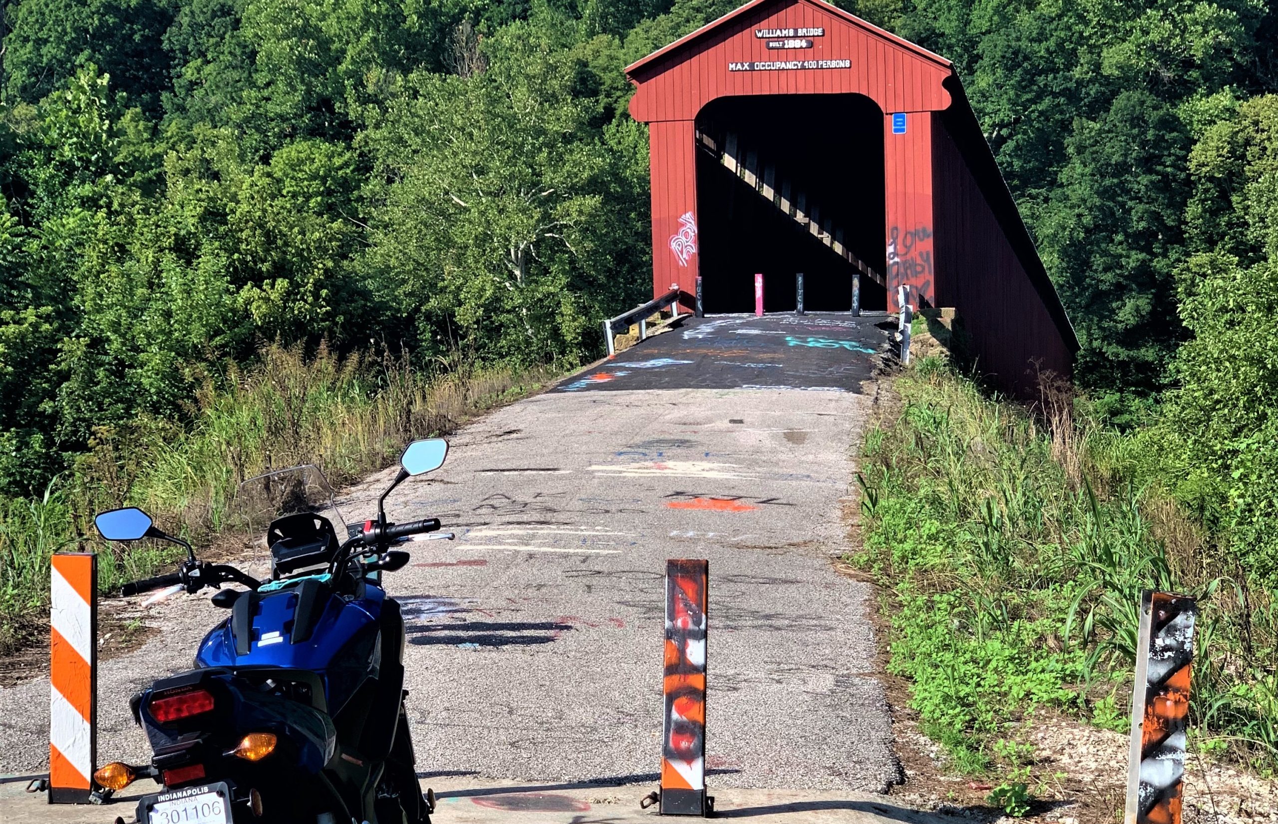



Looks like a nice country ride, I really like those interesting Medora Brick Works buildings. If it weren’t for the brick history I would think it were some kind of ancient Indian dwelling. Most of my riding is commuting to work so I don’t have any preferred riding roads and pretty much do not ride for leisure anymore.
I lived my whole life in Indiana (75 years worth) and I never saw that covered bridge. Now I live and ride in Texas, so I never will. Thanks for sharing!